The Web Platform of the GMES and
AFRICA Support Programme
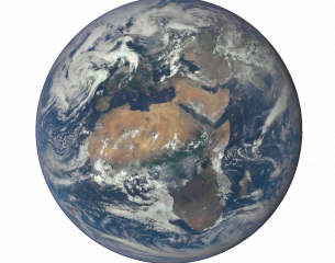
GMES and Africa is the AUC Earth Observation Program for the Africa We Want.
AUC Headline
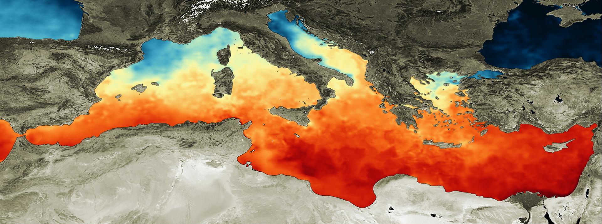
The Global Monitoring for Environment and Security and Africa (GMES, and Africa) Support Programme is co-financed by the European Commission and the African Union Commission. This joint initiative is the crystallization of the longstanding cooperation between Africa and Europe in the area of space science & technology and earth observation. Through the implementation of 5 pillars (Policy and Institutional frameworks, Earth Observation Data Access and Information Services, Knowledge Management and Cross-fertilisation, Capacity Building, Outreach Uptake and Dissemination) the activities are designed to enable Africa to solve and address global challenges and promote sustainable development under the Copernicus programme. The Programme is designed to specifically respond to African needs concerning developing services for water, natural resources, marine and coastal areas, address the global needs to manage the environment, and ensure civil security. Phase I of the GMES and Africa ran from 2018 to 2021, and Phase II is being executed from 2022 to 2025.
Consortia Headline
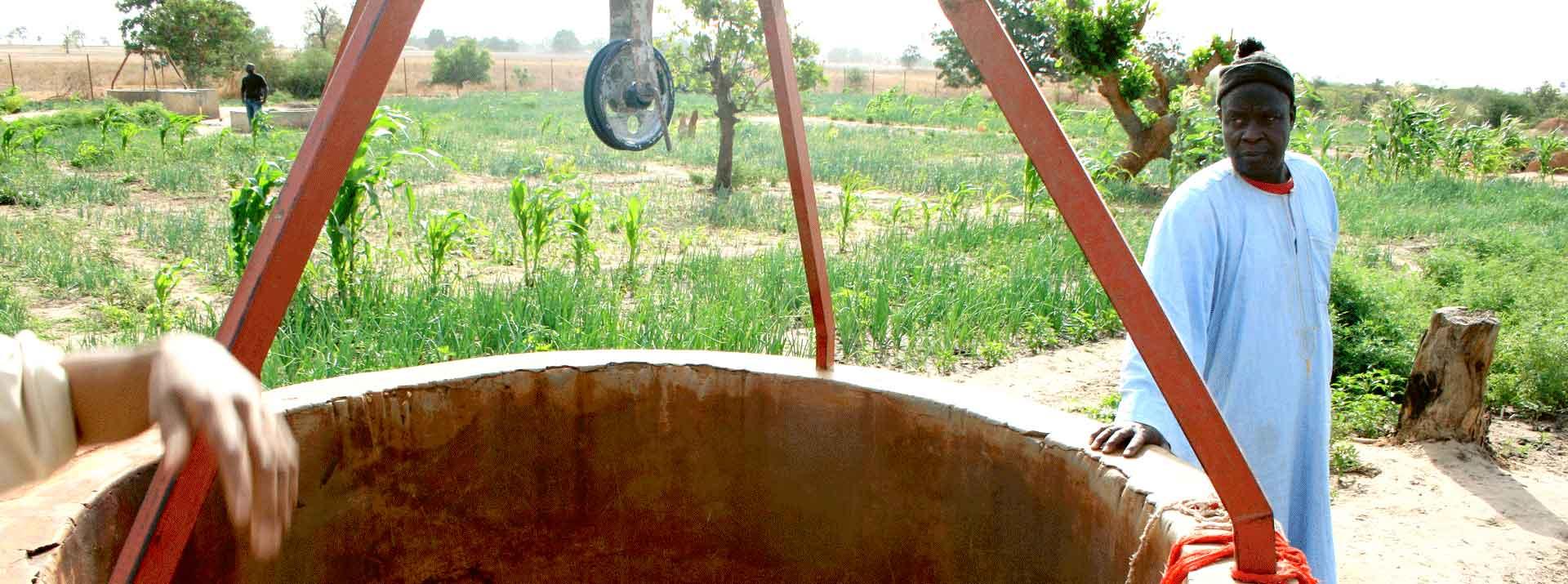
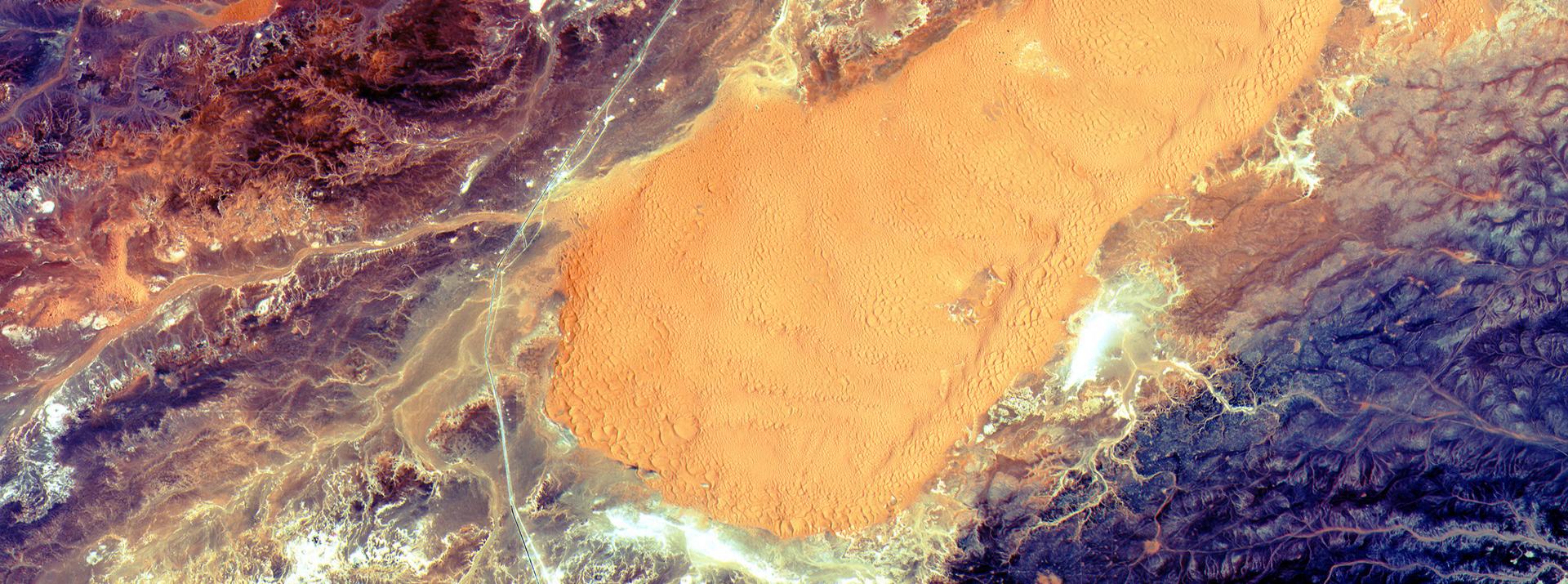
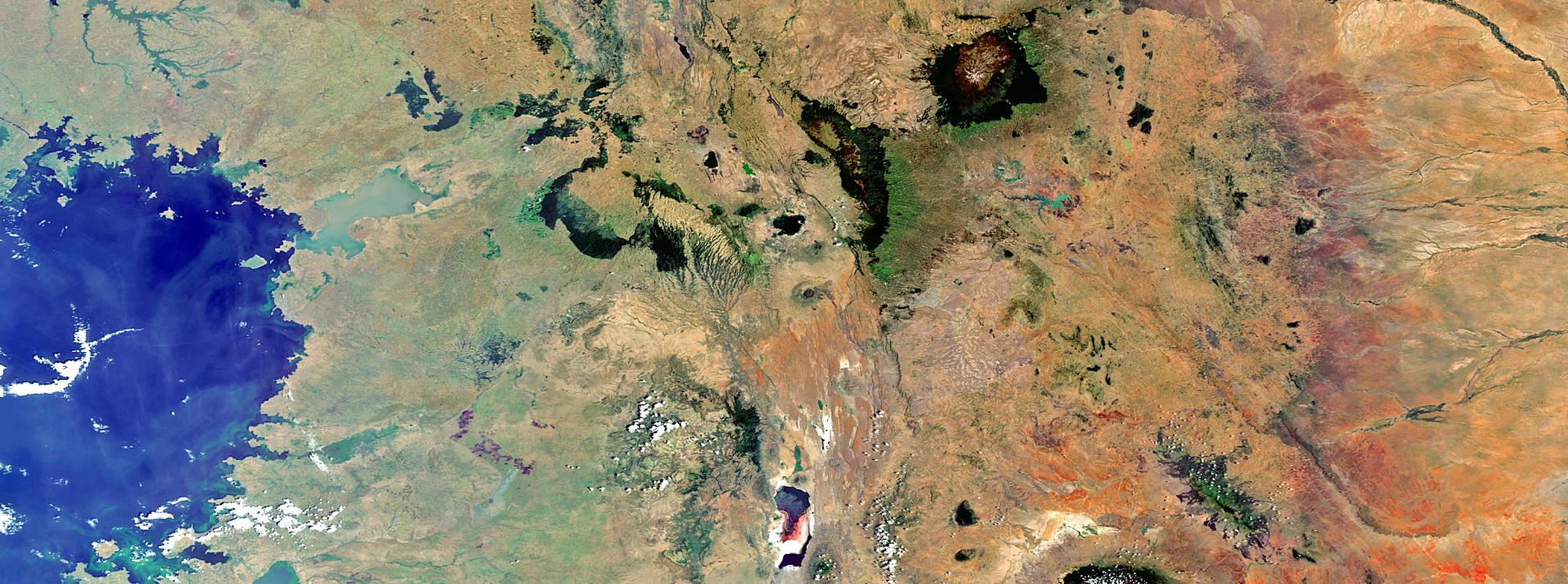
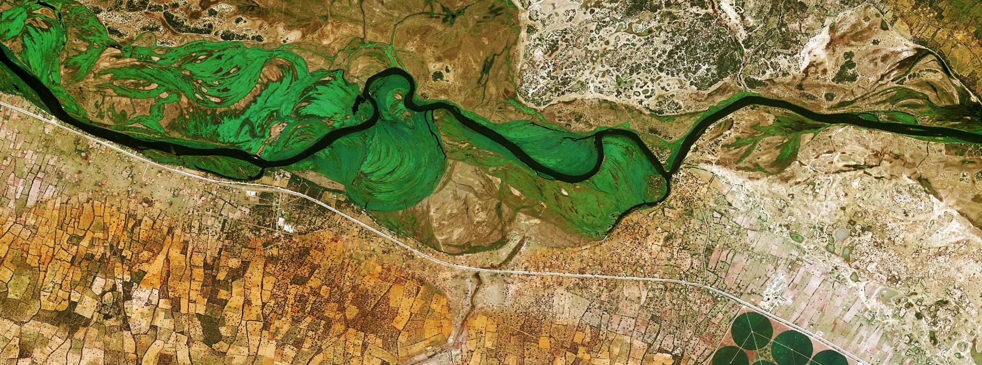
Of the total funding for the GMES and AFRICA Support Programme, around 2/3 are reserved for granting Consortia. The purpose is to develop applications in the fields of Land Water and Natural Resources, and Marine and Coastal Areas. During the first phase, 12 Consortia were granted, and 8 consortia have been granted during the second phase. This grant scheme benefits to around 200 institutions throughout the African continent.
AGEOS (Phase 1)
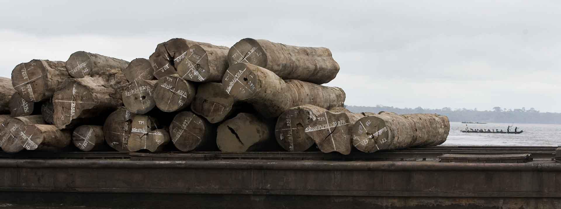
SURVEILLANCE, SUIVI, ET EVALUATION, DE LA FORET EQUATORIALE
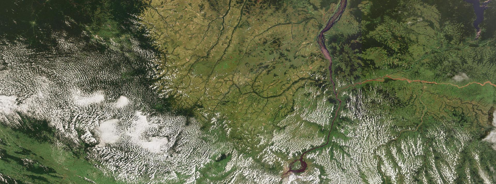
CICOS (Phase 1&2)
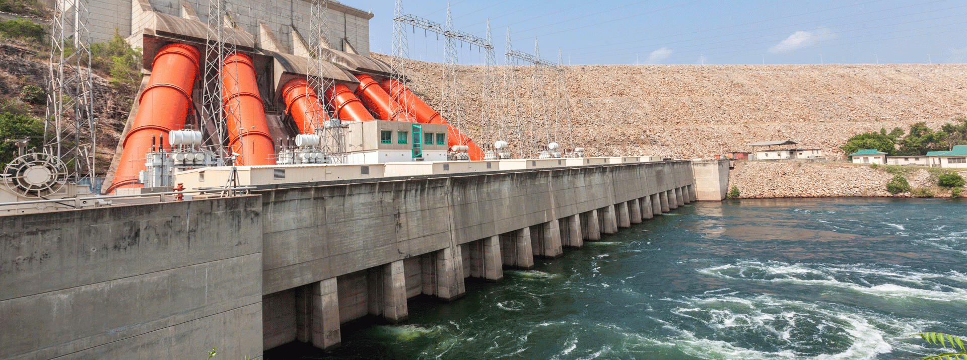
GESTION DE L'EAU ET DES RESSOURCES NATURELLES EN AFRIQUE CENTRALE
HTTPS://WWW.CICOS.INT/GMES-AFRICA/
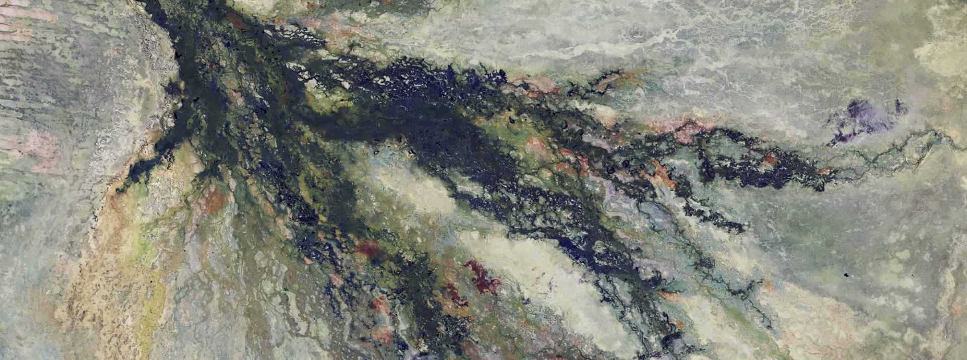
CENTRE DE SUIVI ECOLOGIQUE (Phase 1&2)
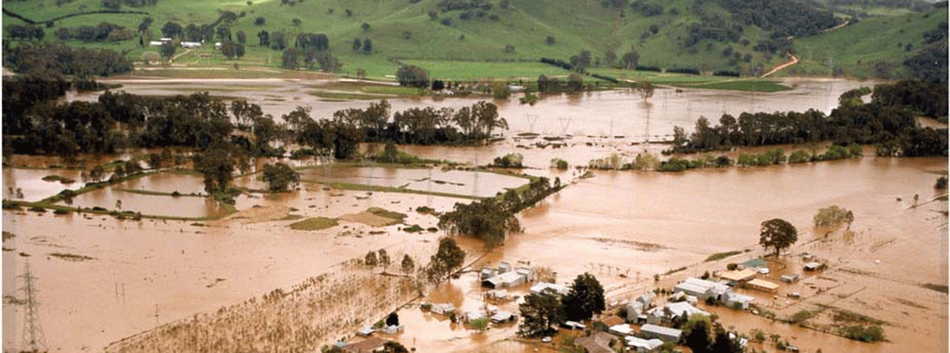
SUIVI DES INONDATIONS ET DES ZONES HUMIDES
HTTP://GDZHAO-BLOG.COM/
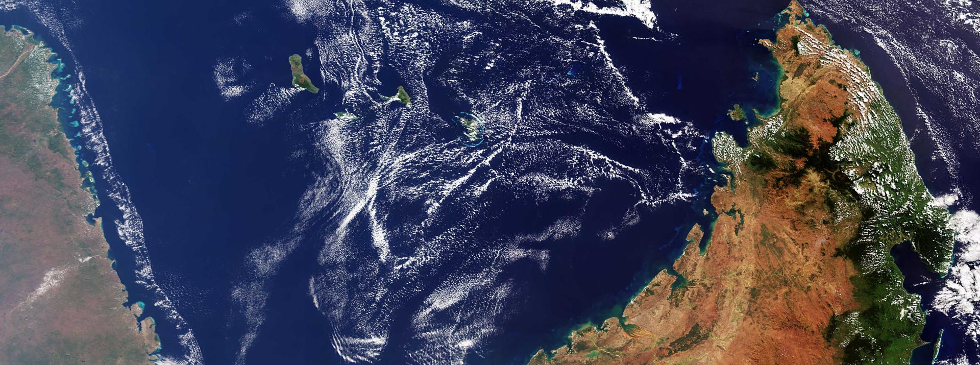
CSIR (Phase 1 & 2)
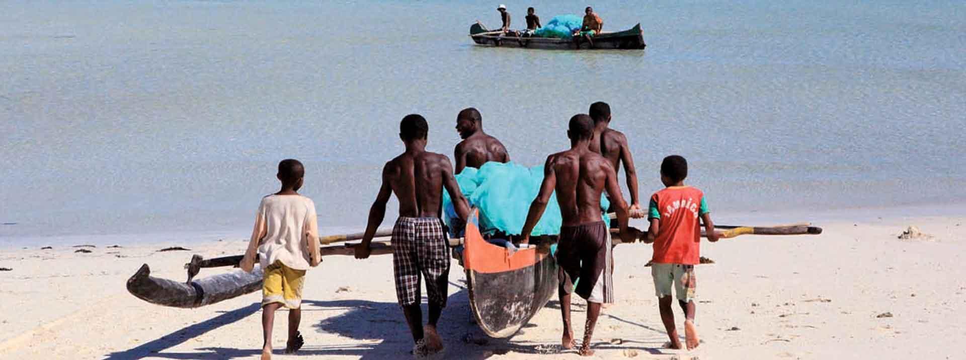
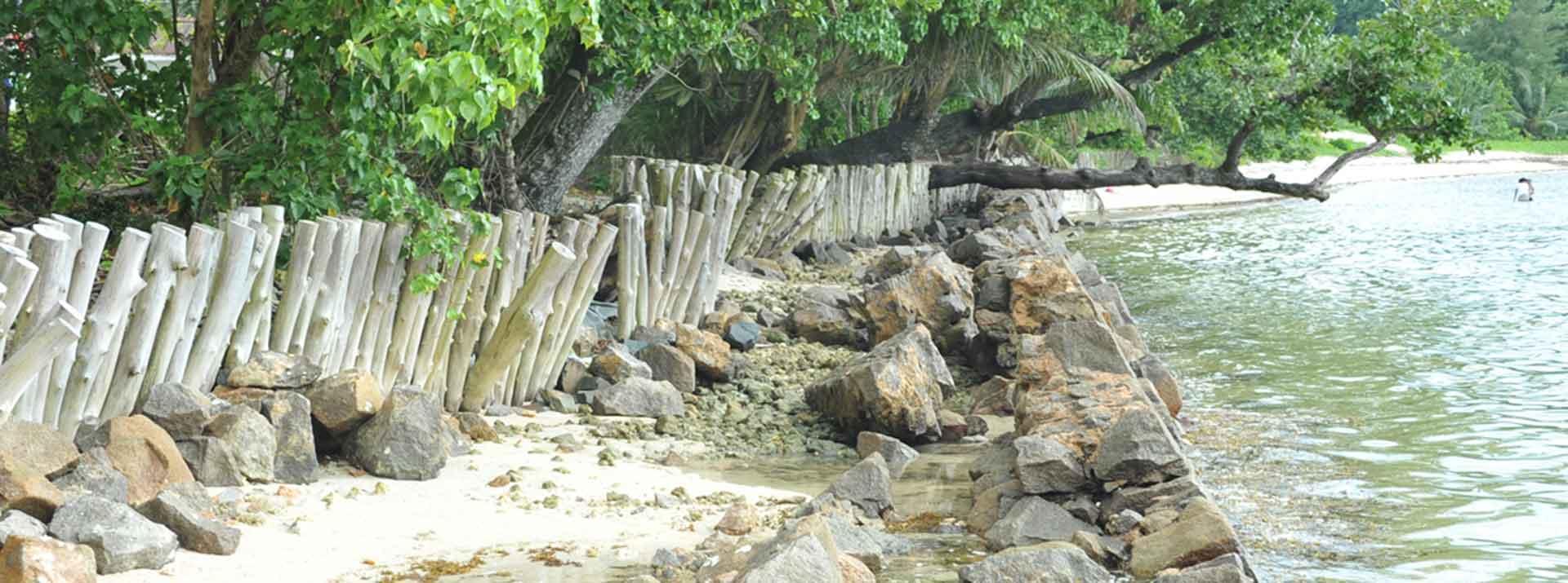
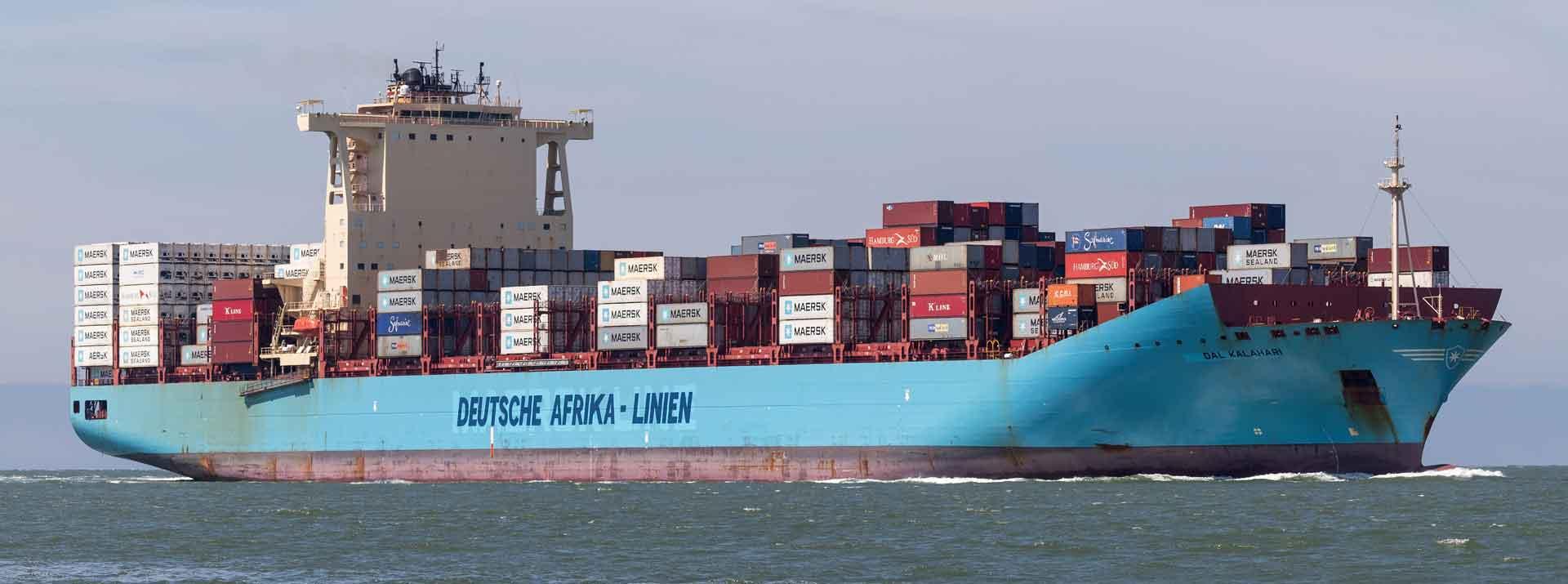
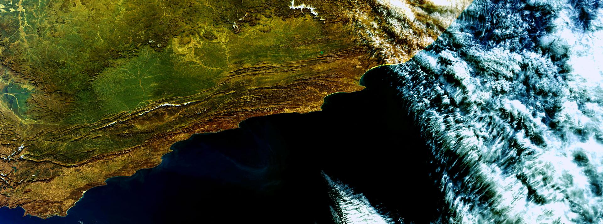
THE MARINE AND COASTAL SERVICE DEVELOPMENT FOR SOUTHERN AFRICA AND THE INDIAN OCEAN (MARCOSIO) PROJECT
HTTPS://MARCOSIO.ORG
CSSTE (Phase 1)
MULTI-SCALE FLOOD MONITORING AND ASSESSMENT SERVICES FOR WEST AFRICA (MIFMASS)
ICPAC (Phase 1 & 2)
MONITORING NATURAL RESOURCES AND FOOD SECURITY IN EAST AFRICA REGION
HTTP://GMES.ICPAC.NET/
MOI (Phase 1)
MARINE AND COASTAL MANAGEMENT IN THE EAST AFRICA REGION
HTTP://MOI.GOVMU.ORG/GMES
NARSS (Phase 1)
DEVELOPING NAFCOAST
HTTPS://NAFCOAST.ORG/
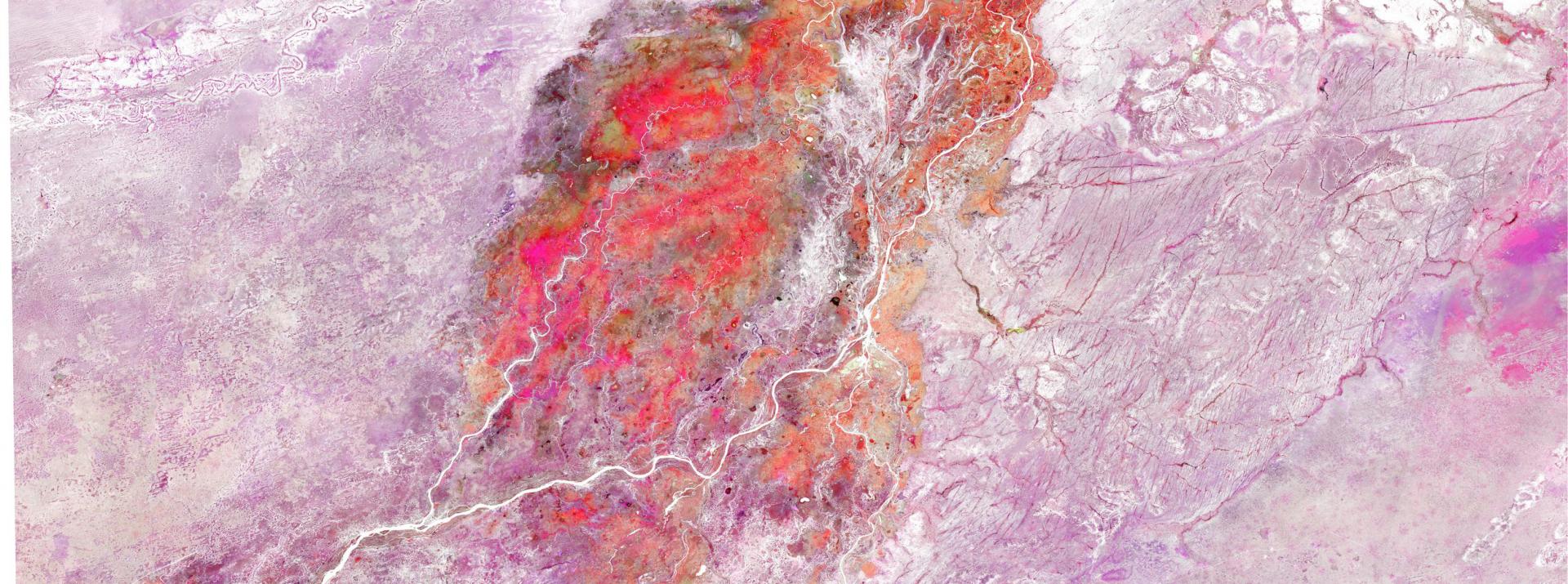
OSS (Phase 1 & 2)
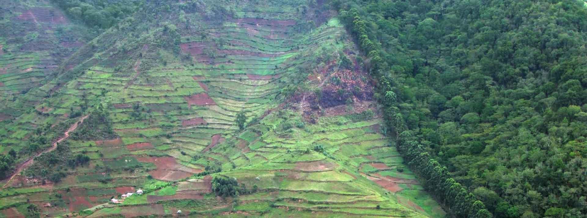
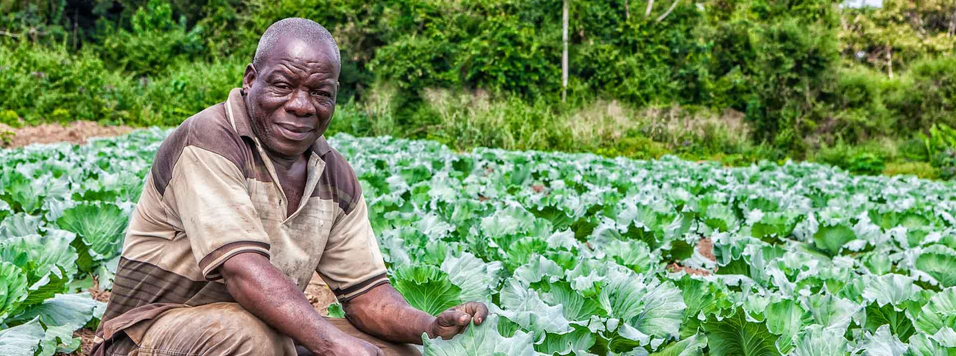
SUSTAINABLE MANAGEMENT OF LAND AND WATER IN NORTH AFRICA
HTTP://PROJET.OSS-ONLINE.ORG/GMES-AFRICA
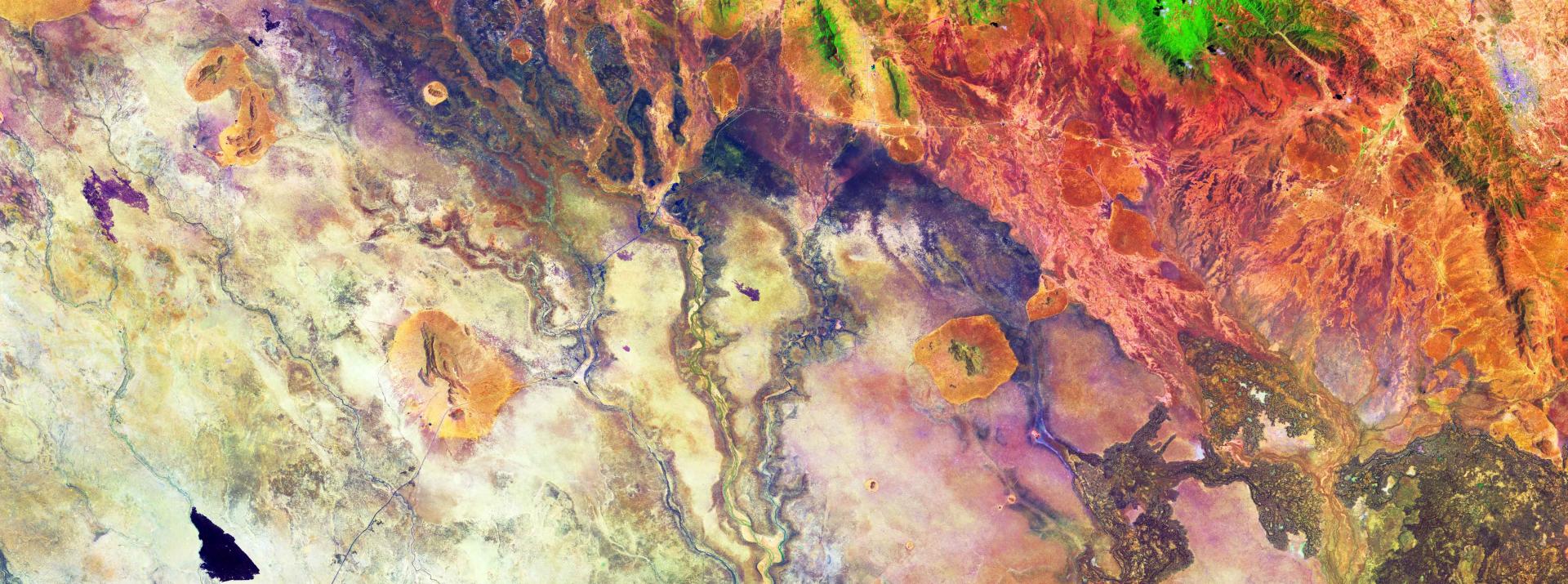
RCMRD (Phase 1 & 2)
MONITORING & ASSESSMENT OF LAND DEGRADATION AND WETLANDS
HTTPS://GMESGEOPORTAL.RCMRD.ORG/
SASSCAL (Phase 1 & 2)
WETLAND ASSESSMENT AND MONITORING PLATFORM FOR TRANSBOUNDARY RIVER BASINS
HTTP://WEMAST.SASSCAL.ORG/
UNIVERSITY OF GHANA (Phase 1 & 2)
MARINE AND COASTAL AREAS MANAGEMENT IN WESTERN AFRICA
HTTPS://GMES.RMC.AFRICA/
An article published at the end of June 2023 in the Spanish news daily gives a quick overview of what AfSA can bring to the Continent in the Space field. The G&A Program Coordinator outlines his views
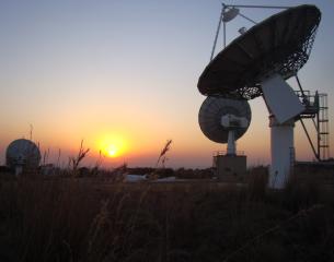
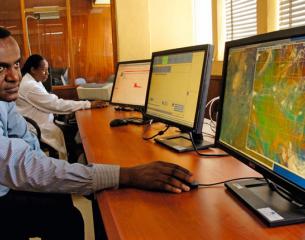
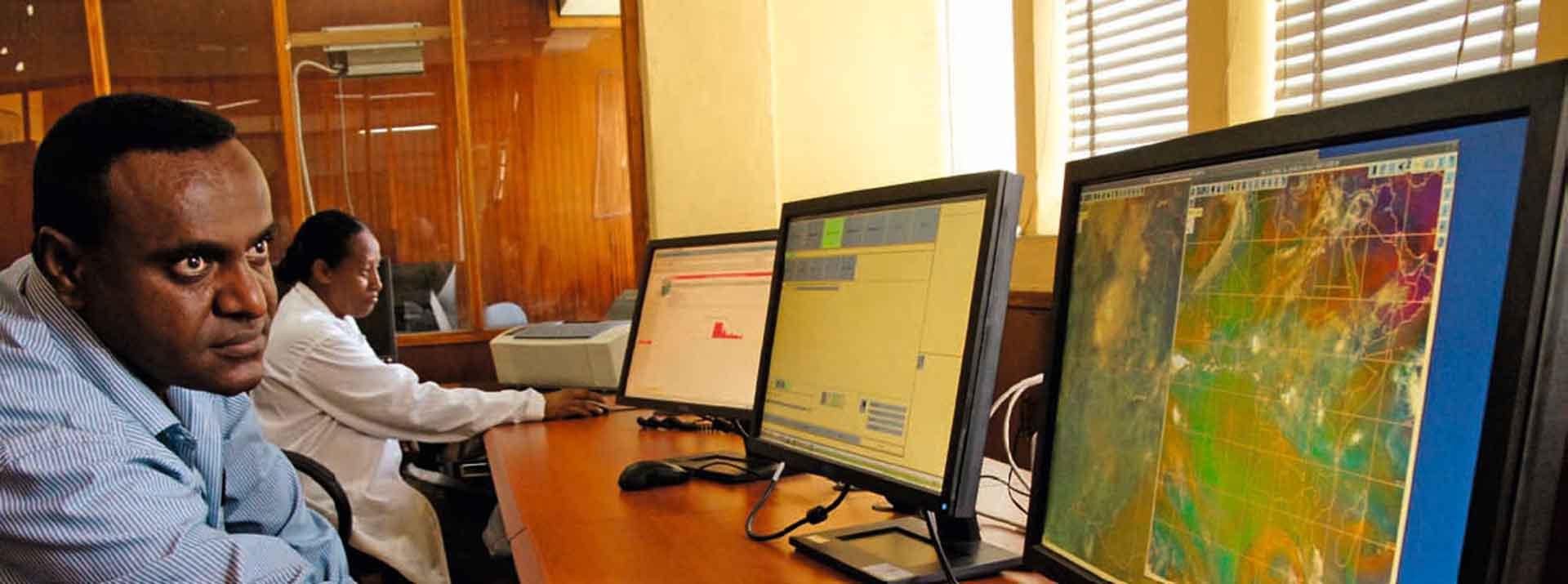
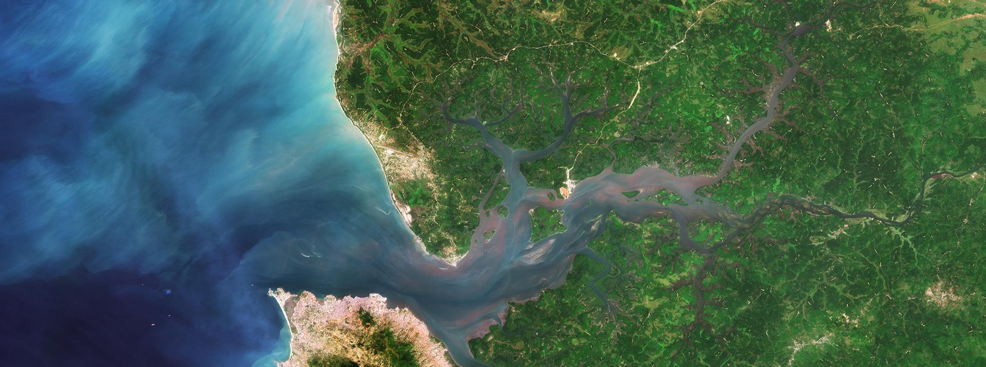
This pillar has been devised to ensure that access to Earth Observation data is maintained, improved and sustained:
Install and maintain new and existing E-stations
Strengthen data access and intra-African collaborative actions
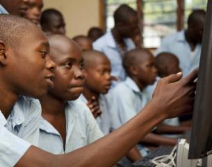
The GMES and AFRICA Training has been designed to enhance regional and national capacities for African public institutions and private sector to generate and apply EO-based information for Natural and Water Resources as well as Marine & Coastal applications.
i) Ensure that RICs establish cooperation frameworks with Universities and work with the Pan-African University (PAU)
In order to ensure strategic human resourcing of its space programmes through the GMES & Africa project, the GMES & Africa Programme Management Unit (PMU), in collaboration…